Protheus: PT Rasi Geo Raya's maritime intelligence platform, from vessel signals by the minute to a printable case file
Protheus collects vessel positions every minute across Indonesian waters, turns them into voyages, events and relationships between vessels, and presents them in an analyst console with weather and wave forecasts for 615 ports. Here is everything it does, and the limits we deliberately set.
Protheus is the maritime intelligence platform we built from nothing in the second half of 2026 for Indonesian waters. The idea is simple to say and hard to do: every statement about a vessel must trace back to its evidence, and an analyst must be able to start from one vessel name, one port or one box of sea and arrive at the whole picture without changing tools. This piece summarises everything it does as it runs today.
Sources stitched together
Protheus joins several sources that are usually read apart: vessel AIS broadcasts we collect ourselves, international sanctions lists, the Indian Ocean fishing vessel register, the official UN port list for sixteen states, and a high-resolution coastline. Every entity, identifier and relationship in its graph carries an evidence row: from which document, when, and with what confidence. Name and alias matches between sources are computed by the analytics engine and flagged "possibly the same", never merged silently.
Vessel signals every minute
Vessel positions are collected live in a box of sea from 12.5 degrees south to 8.5 degrees north and from 92 to 142 degrees east, one position stored per transmitter per minute, partitioned by day. From that raw stream our rule engine builds stops and voyages, then flags the events worth an analyst's eye: a signal lost where it should be heard, two vessels meeting at sea, one identity number used by two vessels at once, a change of identity, an unusual stop, a destination that does not match, and entry into a watched zone. A silence only counts inside coverage cells where at least five other transmitters are heard, so a hole in receiver coverage is never read as an intent to disappear.
Zones, watch lists, notifications
Analysts draw zones directly on the map, place vessels on watch lists and receive notifications when a rule fires. All of it is available through the console and through the programming interface, so other systems can subscribe to the same events.
Cases, notes, reports
Findings that grow into an investigation are gathered into cases: notes, the vessels and events involved, and a report that prints straight from the browser. Investigation recipes guide the repeated steps, such as tracing every vessel that met a given vessel in the last thirty days.
Time machine, fleet groups, cargo chains
The map can be wound back to a given minute to see who was where. Vessels that share an address, a naming pattern or a habit of sailing together are grouped as fleets, the usual way of finding shadow fleets. Cargo chains join port of origin, stops and destination into one voyage story.
Behaviour fingerprints, daily brief, plain-language questions
Every vessel heard long enough earns a behaviour fingerprint: typical speed, hours of movement, habitual ports. Departures from that fingerprint become signals. Each night the platform compiles a daily brief, and analysts can ask in plain language, for instance which vessels stopped for more than six hours outside a port this week; the question is translated by a deterministic parser, not a language model, so the answer is always repeatable.
Weather and waves for 615 ports
Since mid-October 2026 Protheus runs its own weather and wave forecast engine for 615 Indonesian ports, seven days ahead, from global weather model data. Publicly available port cameras are connected at several locations as a visual check.
Console and programming interface
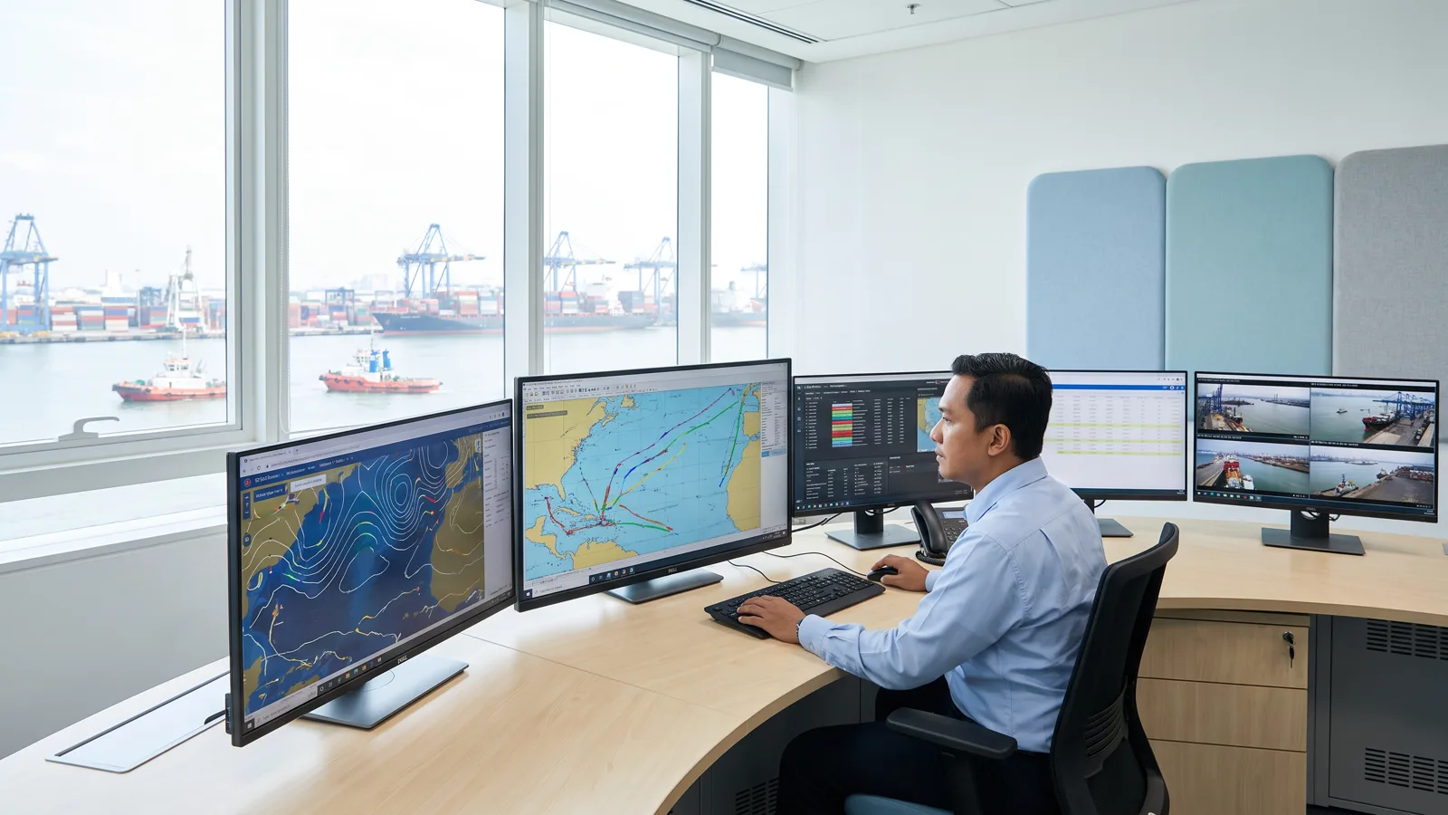
The analyst console combines a link chart, a map, a timeline and a vessel dossier on one screen. The same functions are available through a programming interface with OpenAPI documentation. Access is not open: every key is issued on request, delivered through a one-time link, and logged.
Limits set on purpose
There are two limits we will not cross. Protheus does not profile private individuals and does not touch financial data; its objects are vessels, ports, companies and events at sea. And the live sources we use are named generically in the interface, because what we sell is the analysis, not the name of a supplier.
Protheus serves port authorities, shipping operators, mining companies with offshore working areas, and agencies charged with watching the sea. Access requests and demonstrations can be made through our contact page.
A day at the console
This is the workflow Protheus was designed around, from the first event to the file. The morning starts with the daily brief: how many new vessels were heard, which events fired overnight, which zones were entered. One event draws attention, say a meeting of two vessels off the shipping lane for two hours before dawn. The analyst opens the first vessel's dossier: identity, history of names, habitual ports, behaviour fingerprint, and the list of vessels it has met. The link chart shows that the second vessel shares a managing address with three other vessels flagged before. The time machine is wound to the minute of the meeting; the map shows the two stopped side by side, with a signal briefly lost just before in a coverage cell that is normally busy. All of it goes into a case, is annotated, and the report is printed for the midday meeting. Not one step needs a tool outside the console, and every claim in the report points to an evidence row.
Reliability of the data
One position per transmitter per minute over a box that size is no small stream, and we built its storage to last for years: the position table is partitioned by day, each vessel's current state is kept apart so the live map opens without scanning history, and every analytic statement, from a name match to a risk score, carries explainable evidence. The risk score is not a black box: it sums rules named one by one, so an analyst can discard one rule and watch the score change.
Getting started
Protheus is designed for small teams responsible for large areas of sea: surveillance units at port authorities, safety departments at shipping operators, environment and security teams at mining companies with offshore working areas, and agencies that watch the waters. Access begins with a conversation about the area and the questions to be answered, continues with access keys issued to named people, and a short training at the console. Integration with existing systems goes through the same programming interface the console uses, so no function is reachable only through our screens.
Roadmap
Two things are in progress. First, joining satellite radar detections from our imagery engine to the Protheus graph, so that a return without AIS at sea can be matched at once to a vessel that has just switched off its transmitter nearby. Second, widening the vessel registers read, the national register included, so that the dossier of an Indonesian vessel is as complete as that of a foreign one. As usual, both will be announced once they run on real data.
Privacy and law
Protheus processes data that vessels broadcast openly under international shipping rules, public lists, and data a client provides for its own area. We collect no personal data of crews, build no profiles of people, and touch no financial data. Requests from law enforcement are handled under Indonesian law through official channels.