
Mining companies
Licence-area surveillance, volume and topographic surveys, monitoring of the waters around working areas, and reporting systems for management.
Partnerships
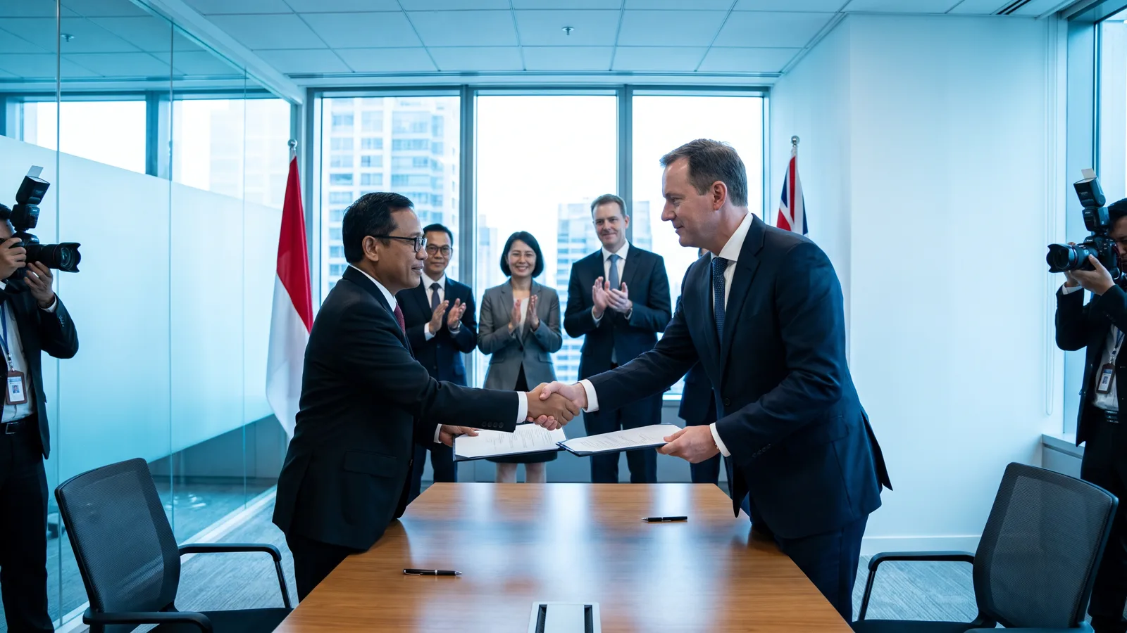
The shape of a partnership follows the need: a subscription to area monitoring, a survey project with a defined scope, the development of a system that is then operated together, or joint research with academic institutions and technology partners.
We are open to partnerships with imagery providers, sensor manufacturers and analytics companies from abroad. Technical meetings are held in English when needed, and our documents are available in both languages.
Every partnership begins with a clear discussion of scope: which data is used, who owns it, how it is stored, and what happens when the partnership ends. We sign a non-disclosure agreement before touching a client's data.

Licence-area surveillance, volume and topographic surveys, monitoring of the waters around working areas, and reporting systems for management.
Monitoring of land cover, waters and activity across an administrative area, with periodic reports and verifiable evidence.
Collaboration on methods, data and field validation for remote sensing and applied geoscience.
Integration of commercial imagery, sensors and analytics into our platform, through documented technical paths.

Governance and data security
One conversation is enough to tell whether our data answers your question. No obligation follows.
Contact us