Services · 03
Mining surveys with LiDAR and drones
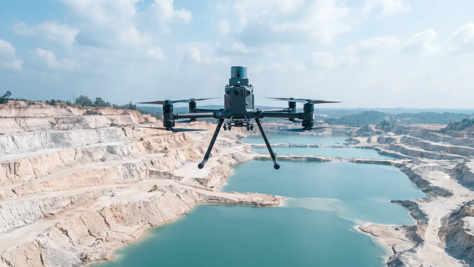
Topographic mapping, volume calculation and three-dimensional models of mining areas from airborne LiDAR, drone photogrammetry, and sonar for water bodies.
Our field team flies drones carrying LiDAR sensors and metric cameras, then turns the point cloud into surface models, terrain models, contours and cross-sections. For pit lakes and shallow waters we use sonar, so that depth is measured rather than guessed from imagery.
Every survey comes with ground control points and an accuracy report, so the results can be used for volume calculations, reclamation planning and formal technical documents.
Contact usHow we work
From sensor to decision, in four steps anyone can check.
- 01
Acquisition
Data is taken straight from its source: official satellite catalogues, our own drone flights, AIS receivers and partner coastal radars. Every file is logged with its origin, time and version.
- 02
Processing
Our engine runs corrections, masking, alignment and detection automatically every day, and keeps the intermediate results so that each step can be repeated and inspected.
- 03
Verification
Findings are cross-checked: optical against radar, imagery against field data, automatic detection against an analyst's review. What does not pass is not reported as fact.
- 04
Decision
Results are delivered in forms that can be used at once: alerts with evidence, periodic reports, interactive maps, and APIs for the client's systems. The history is kept and never discarded.
Services
Other lines
Software and data platforms
Web applications and API services that we design, write and operate ourselves, from the database to the interface a field officer uses.
02GIS and remote sensing research
Analysis of optical, radar and hyperspectral satellite imagery to map changes in land cover, the state of waters, and activity on land and at sea.
04Maritime monitoring and AIS signals
Surveillance of waters with satellite radar, vessel AIS broadcasts and coastal radar: detecting vessels, stationary objects and movement patterns across offshore working areas.
Ready to see your area in a new way?
One conversation is enough to tell whether our data answers your question. No obligation follows.
Contact us