Technology
The sensors we use and what each one answers.
No single sensor answers every question. We choose the right combination for each need, and we are honest about the limits.
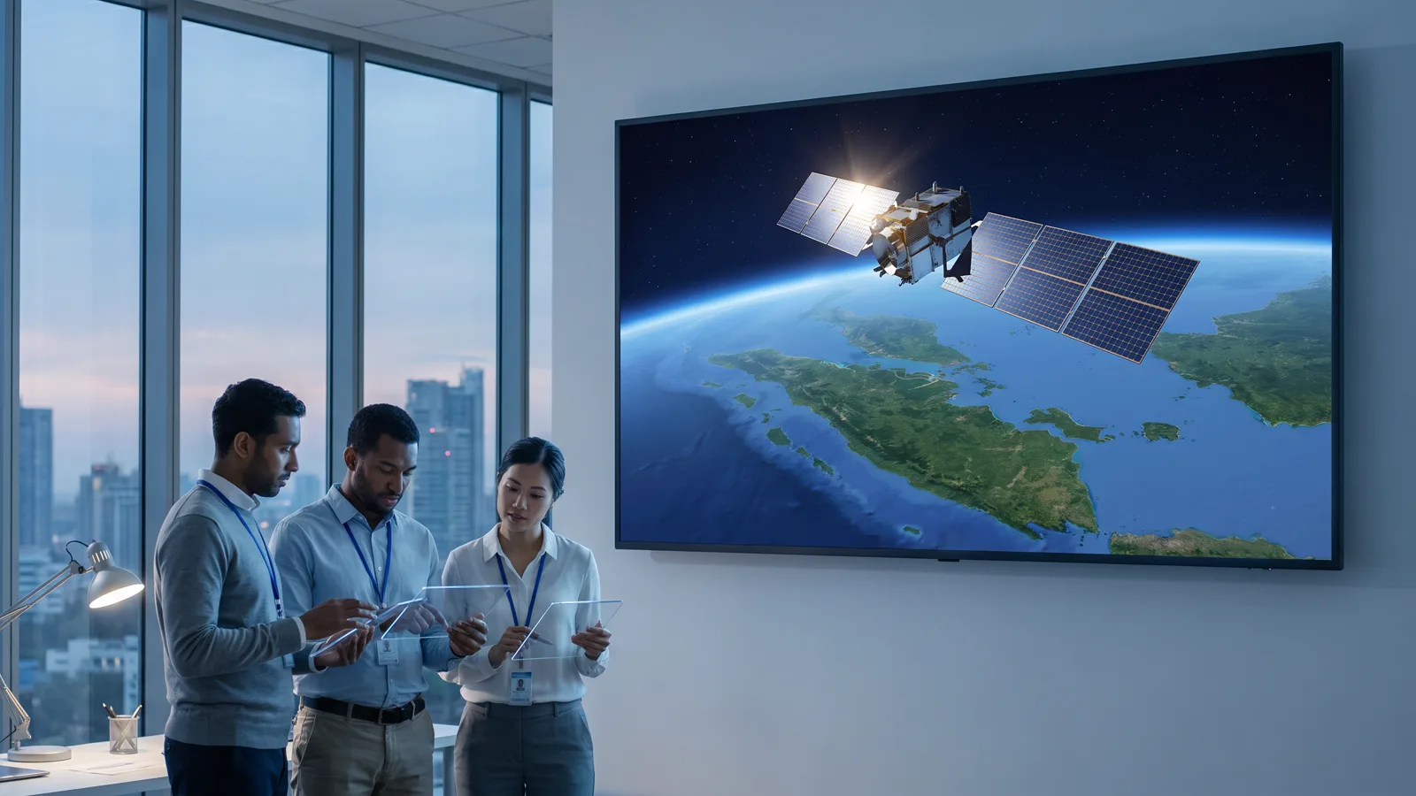
Optical satellites
Sentinel-2 and Landsat for routine monitoring at 10 to 30 metres; commercial imagery at 3 metres or sharper when detail decides. Answers: what changed on the surface, and since when.
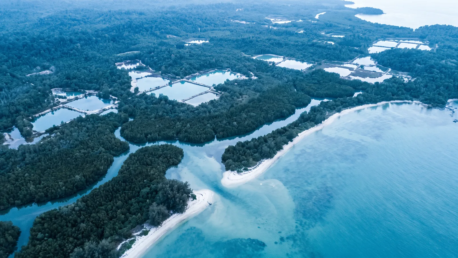
Radar satellites
Sentinel-1 sees through cloud and works at night. Answers: is that optical change real, and what objects are at sea while the sky is closed.
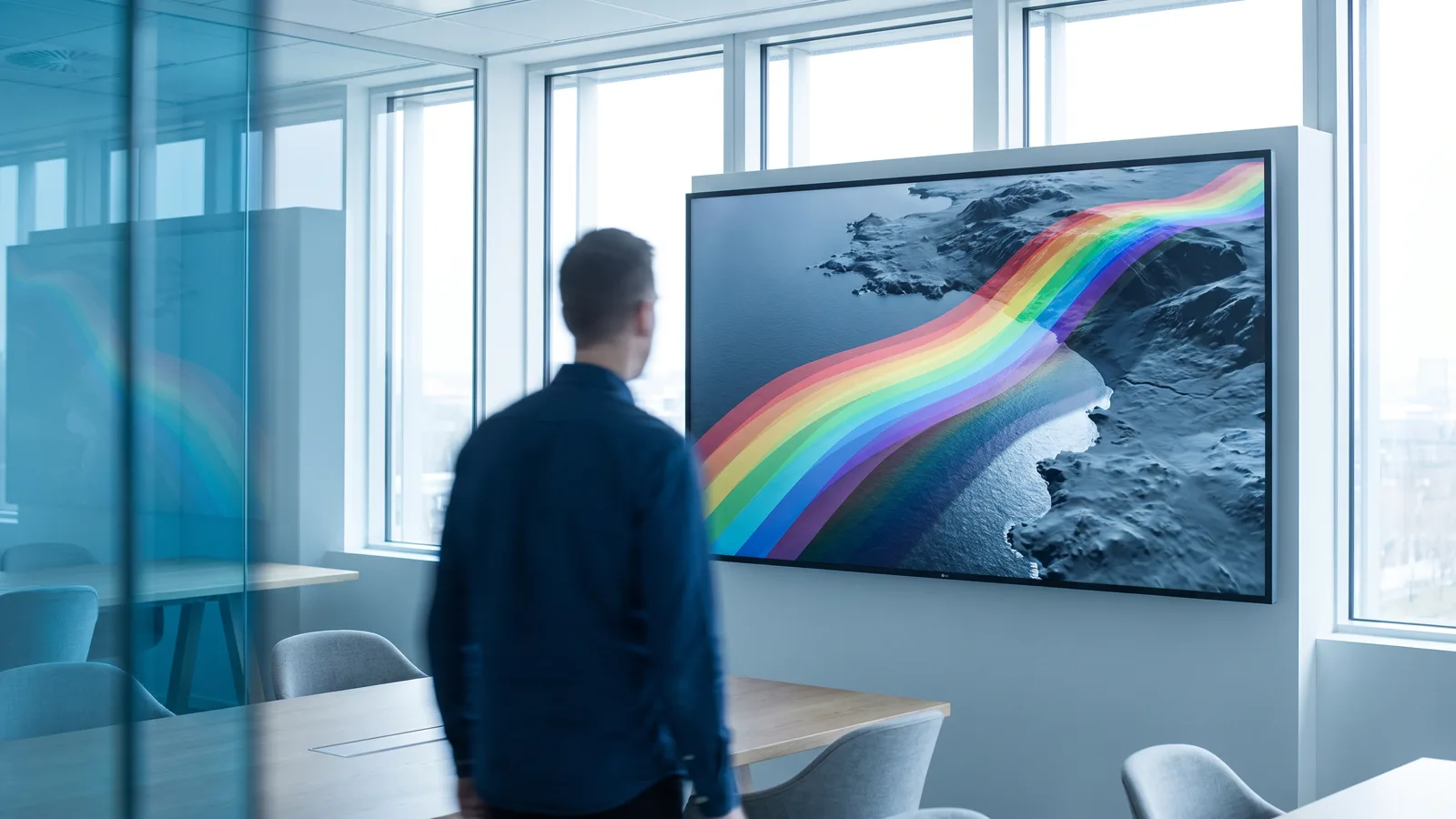
Hyperspectral imagery
Hundreds of spectral bands to recognise surface materials, minerals and vegetation conditions invisible to ordinary cameras. Used for research and exploration.
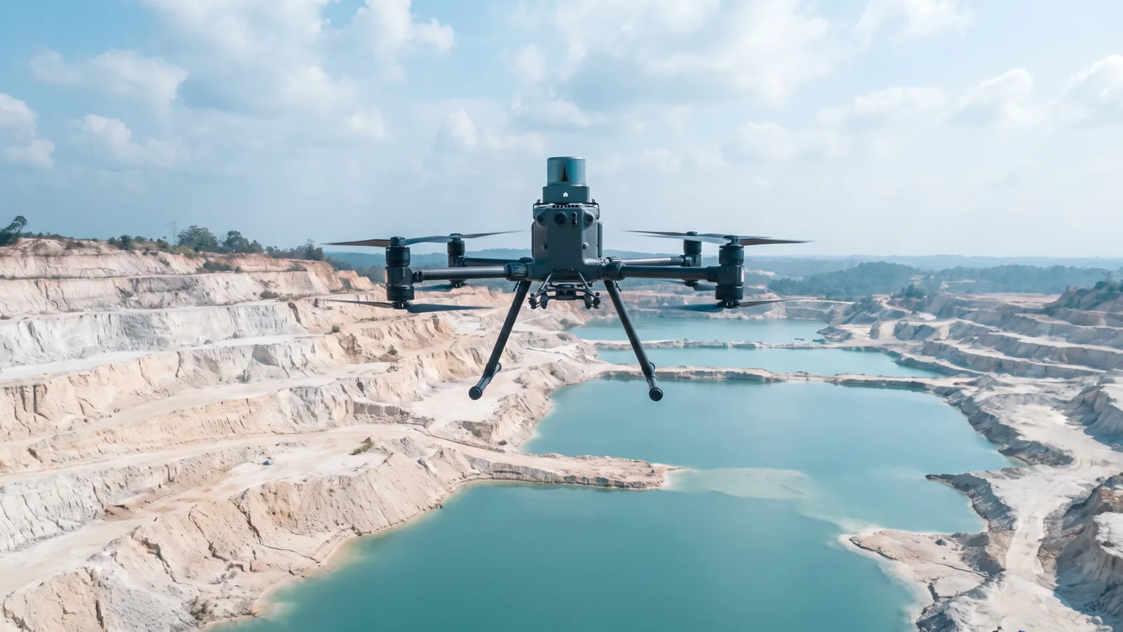
LiDAR and drones
Direct measurement of the shape of the ground to centimetre accuracy. Answers: how much volume, how deep, and what the terrain really looks like.
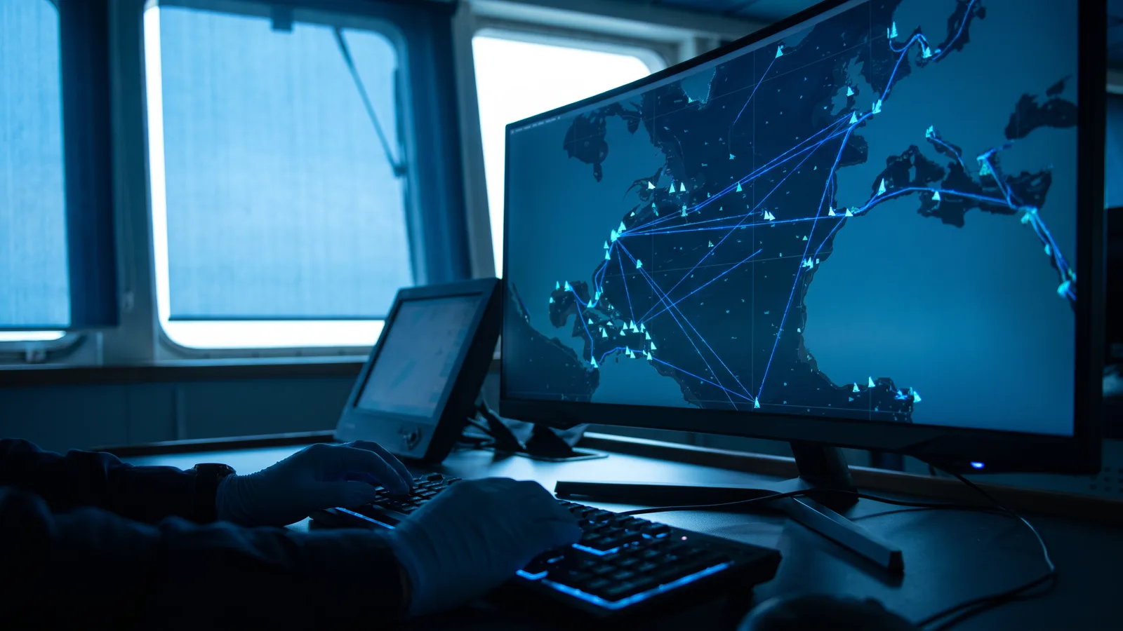
AIS and coastal radar
Vessel identity broadcasts and shore-based radar to see who is moving where, minute by minute, and who prefers not to be seen.

Our own platform and servers
All processing and storage runs on servers under our control in Indonesia. Client data is not sent to third-party services.
How we work
From sensor to decision, in four steps anyone can check.
- 01
Acquisition
Data is taken straight from its source: official satellite catalogues, our own drone flights, AIS receivers and partner coastal radars. Every file is logged with its origin, time and version.
- 02
Processing
Our engine runs corrections, masking, alignment and detection automatically every day, and keeps the intermediate results so that each step can be repeated and inspected.
- 03
Verification
Findings are cross-checked: optical against radar, imagery against field data, automatic detection against an analyst's review. What does not pass is not reported as fact.
- 04
Decision
Results are delivered in forms that can be used at once: alerts with evidence, periodic reports, interactive maps, and APIs for the client's systems. The history is kept and never discarded.
Ready to see your area in a new way?
One conversation is enough to tell whether our data answers your question. No obligation follows.
Contact us