Services
Four lines of work, one chain of data.
Each line stands on its own as a service, yet all of them share the same processing engine and the same standard of verification. A client may take one line, or the whole chain from sensor to decision.
Software and data platforms
We build applications for specific jobs: area surveillance dashboards, periodic reporting systems, spatial data portals, and programming interfaces that connect our data to a client's own systems. Everything runs on servers we manage, with access control, audit trails and daily backups.
We do not sell generic software licences. Each system is designed from a real user's needs, tested with them, and maintained for as long as it is in use.
Learn more
GIS and remote sensing research
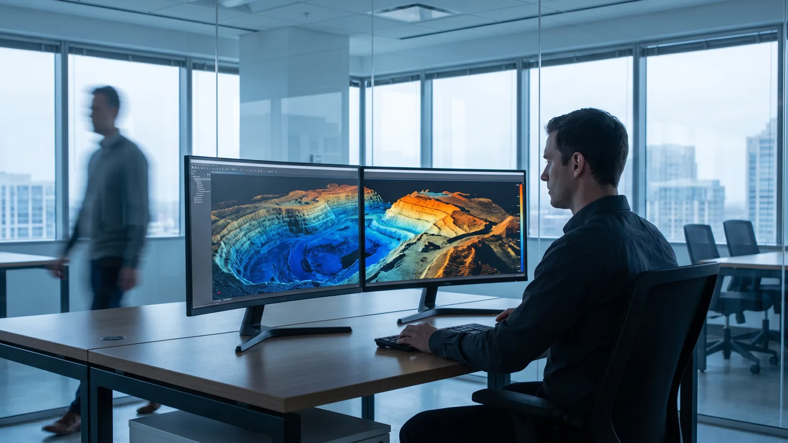
We process Sentinel-1, Sentinel-2, Landsat and high-resolution commercial imagery with our own engine: atmospheric correction, cloud masking, sub-pixel co-registration, two-date change detection, and cross-confirmation between optical and radar sensors. The output is maps, time series and per-pixel evidence that can be audited.
Our research is aimed at practical questions: when did a piece of land start being cleared, how large is it, does radar confirm it, and what is happening at sea nearby.
Learn more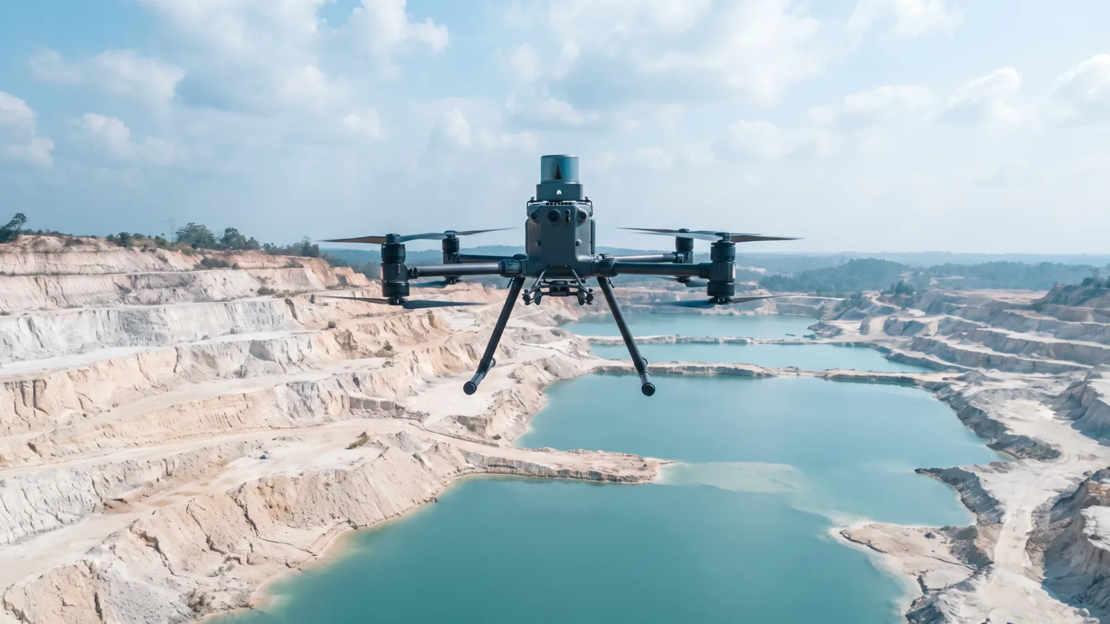
Mining surveys with LiDAR and drones
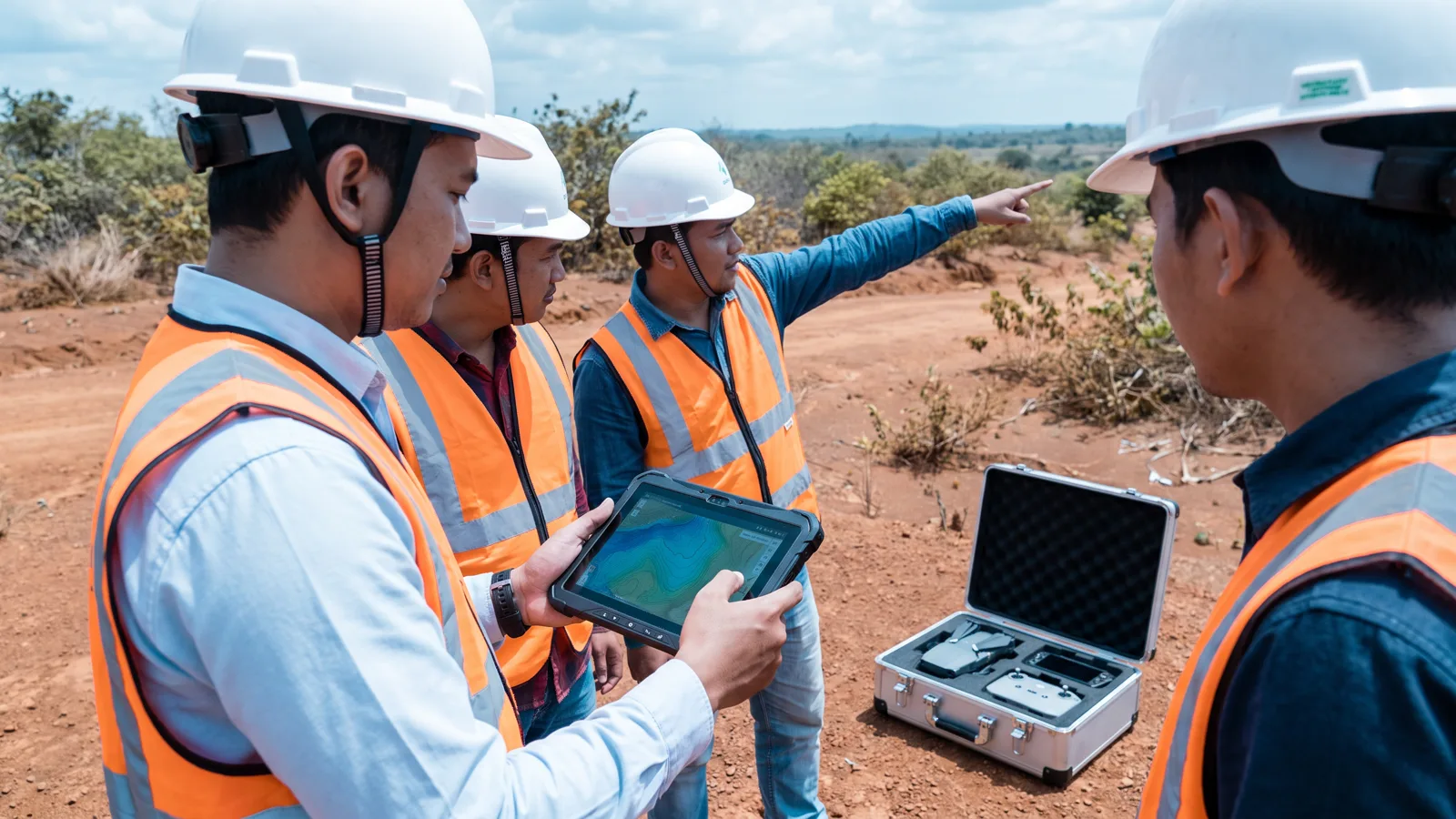
Our field team flies drones carrying LiDAR sensors and metric cameras, then turns the point cloud into surface models, terrain models, contours and cross-sections. For pit lakes and shallow waters we use sonar, so that depth is measured rather than guessed from imagery.
Every survey comes with ground control points and an accuracy report, so the results can be used for volume calculations, reclamation planning and formal technical documents.
Learn more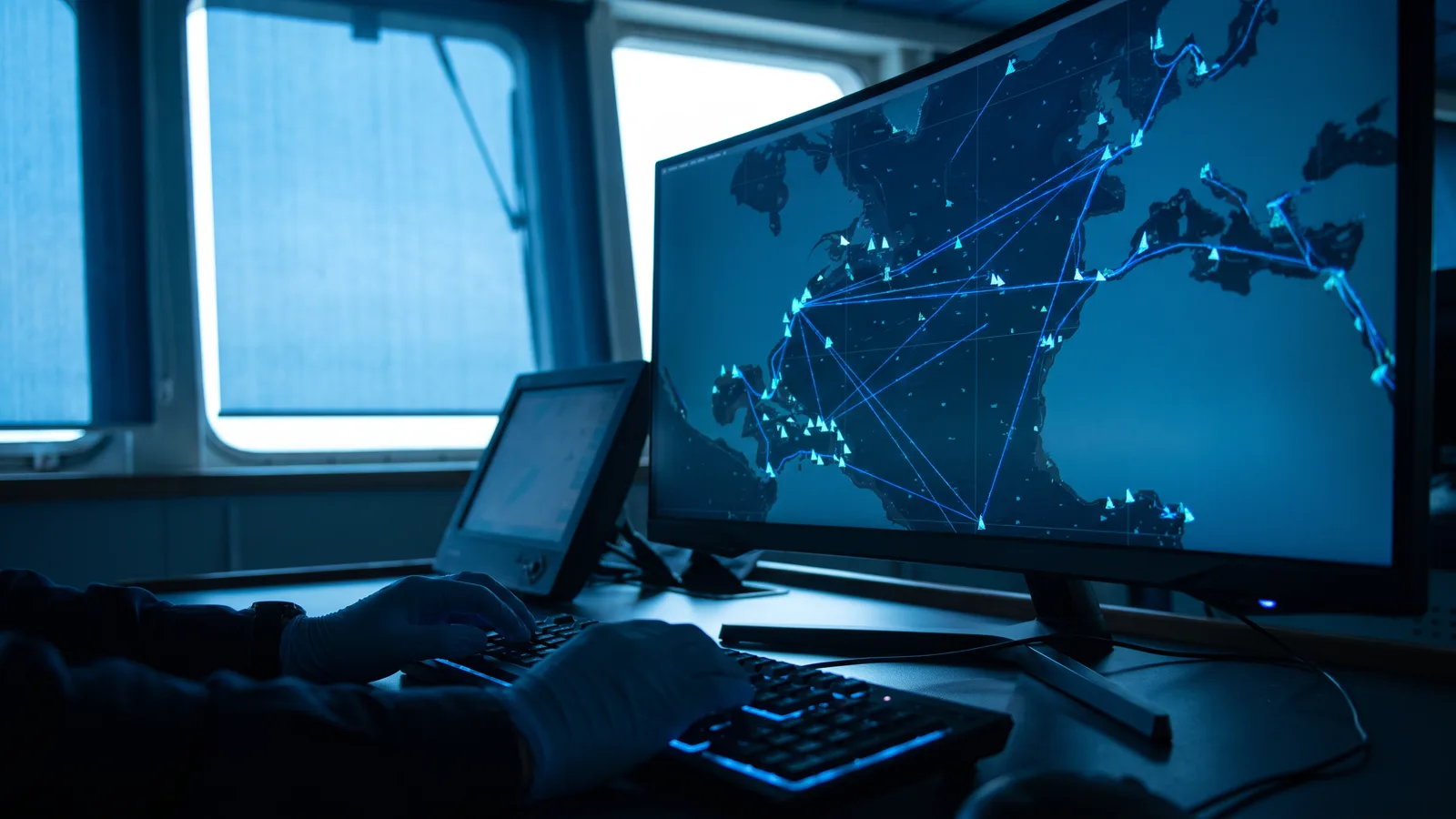
Maritime monitoring and AIS signals
We combine satellite radar echoes with vessel AIS broadcasts to find objects that are on radar but do not broadcast an identity, to track vessels that stay too long at one spot, and to build patterns of movement between ports. Clients receive early warnings with the imagery behind them, not just dots on a map.
This service is used for the surveillance of offshore licence areas, for navigational safety, and to support enforcement by the authorities.
Learn moreReady to see your area in a new way?
One conversation is enough to tell whether our data answers your question. No obligation follows.
Contact us