Earth observation satellites in 2026: new radar in service, commercial hyperspectral in orbit, the Sentinel archive tidied
A round-up of the 2026 developments that change what can be seen from orbit over Indonesian waters and land: Sentinel-1D and NISAR in operation, Sentinel-6B in service, Planet flying Tanager-2 and Pelican-12, and Copernicus releasing cloud-free mosaics and a new processing baseline.
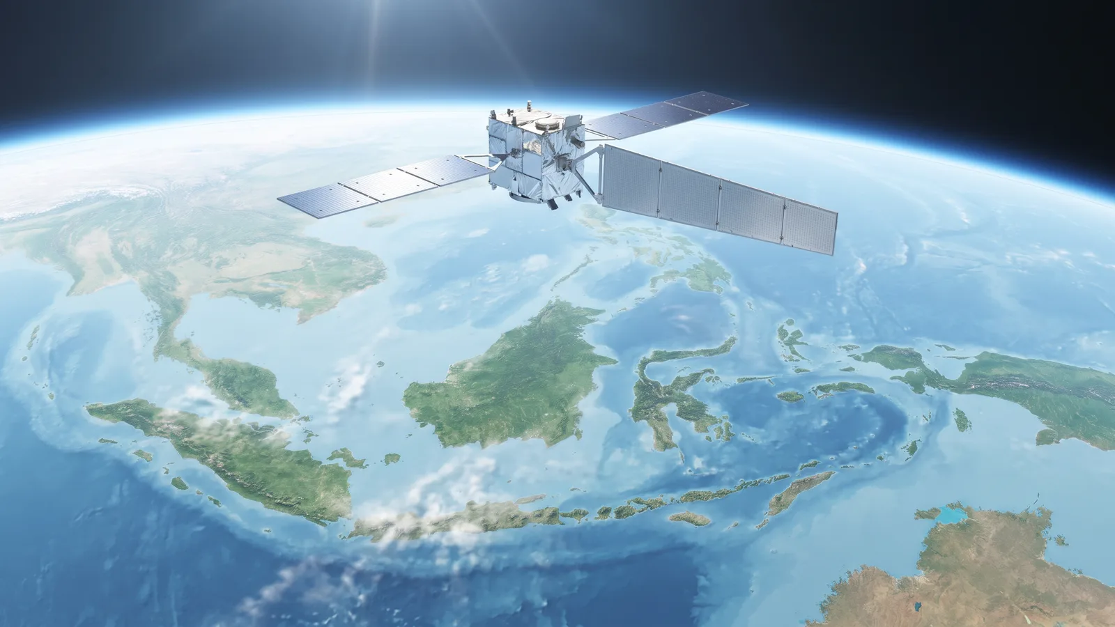
2026 has been a dense year for Earth observation, and most of its developments bear directly on how we work. This is the round-up we compiled from official announcements by space agencies and imagery providers, with a note on what each means for area monitoring in Indonesia.
Radar: the Sentinel-1 constellation complete again, NISAR at work
Sentinel-1D, launched in November 2025, was declared fully operational by the European Space Agency after completing its in-orbit commissioning in the first half of 2026. With 1C and 1D working as a pair, C-band radar revisit over a given point returns to six days, after years of single-satellite operation following the loss of Sentinel-1B in 2022. For us this means radar confirmation of land clearing and vessel detection at sea arrives twice as often, and the gap between an optical detection and its radar confirmation shortens.
NISAR, the joint NASA and ISRO mission launched on 30 July 2025, entered its science operations phase in early January 2026. It is the first radar satellite to carry both L-band and S-band, with a twelve-day revisit on ascending and descending passes. L-band penetrates vegetation canopy more deeply than C-band, so change below the canopy and ground deformation read more clearly. NISAR data is open, and we are preparing a reader for it in our processing chain.
Sea surface: Sentinel-6B enters service
On 29 October 2026 Sentinel-6B formally entered operational service, nearly a year after its launch on 17 November 2025. The satellite measures sea-surface height over up to 95 percent of the ice-free ocean every ten days and continues the record begun in the TOPEX/Poseidon era. Its effect on our work is indirect but real: the weather and wave forecasts we run for ports rest on models that assimilate data of this kind.
Commercial: hyperspectral and high resolution from Planet
Planet Labs flew Tanager-2 on 1 October 2026 together with 18 SuperDove satellites and a demonstration mission, and released its first-light image a week later. Tanager is a VSWIR hyperspectral satellite, developed with Carbon Mapper, with hundreds of bands from visible light to short-wave infrared. On 21 October NASA awarded Planet an evaluation order for more than 250,000 square kilometres of Tanager data through its commercial satellite data acquisition programme.
Pelican-12, Planet's second-generation high-resolution satellite, launched in mid-October and its first light was released on 4 November 2026. Planet calls it the 25th satellite it has put into orbit this year across four launches. For users in Indonesia two things matter: daily 3-metre imagery from the SuperDove fleet remains the backbone of routine monitoring, and sharper Pelican imagery is becoming available for needs that demand detail.
Open data: cloud-free mosaics and a new baseline
In March 2026 the Copernicus Data Space Ecosystem announced that the full Sentinel archive had been processed into seamless Level-3 mosaics: monthly for Sentinel-1 and quarterly for Sentinel-2. For a tropical region almost always under cloud, the quarterly mosaic is a valuable backdrop, although for daily change detection we keep working on the original passes.
On 21 October 2026 a new processing baseline for Sentinel-1 Level-1 and Level-2 products was deployed, version 4.1.1. Among its changes: a correction of a range geolocation anomaly on stripmap products, annotation of the elevation model used in the product manifest, a quality flag on the orbit information, and a number of improvements to ocean products. Such changes sound technical, but they are exactly why we record the processor version of every picture in our archive: two pictures from different baselines must never be compared unknowingly.
What it means for monitoring in Indonesia
Three practical conclusions. First, radar is now frequent enough to be a routine judge rather than a fallback for cloudy days; a processing chain that treats optical and radar as equals will come out ahead. Second, commercial hyperspectral imagery is entering a market that used to depend on research missions; for mineral and vegetation mapping this opens a door long shut. Third, European open data is ever more ready to use, yet still needs an engine that understands versions, baselines and the limits of each sensor.
We will update this round-up when other developments change how work is done in the field.
How we match a sensor to a question
The developments above are useful only when paired with the right question. This is how we map them in daily work.
- What changed on the surface, and since when: Sentinel-2 at 10 metres every five days, with Landsat at 30 metres for the long record. Enough for clearing above two thousand square metres; not enough to tell one excavator from a heap of soil.
- Whether that change is real while the sky is closed: Sentinel-1 C-band, now every six days with two satellites, and NISAR L-band every twelve days for what happens beneath the canopy.
- What objects are at sea: Sentinel-1 radar returns for anything the size of a vessel, AIS broadcasts for identity, and 3-metre imagery to tell types apart when needed.
- What material is exposed: hyperspectral imagery, which in 2026 began to be available commercially from Tanager besides research missions such as EnMAP and EMIT.
- How much volume and how deep: no satellite answers this to centimetre accuracy; the answer is airborne LiDAR, drone photogrammetry and sonar.
Cost, licences, and what is often missed
Copernicus and NASA data are free under open licences, commercial use included, with an obligation to credit the source. Commercial imagery is sold under different models: per square kilometre ordered, or as a subscription over an area under management with automatic delivery whenever a new pass arrives. For a large concession and daily monitoring the second model almost always makes more sense, but it requires the buyer to know exactly the area to be monitored; computing the official area of every block to two decimals is the first job before asking for a quotation.
Two things are often missed. First, commercial imagery licences usually restrict who may view the original picture; derived products such as change maps may be shared more widely, the original pictures may not. Second, processing baselines change over time, as the October Sentinel-1 baseline did; a time series that crosses a baseline change needs re-checking at the seam.
What we are waiting for
Several upcoming missions are scheduled and worth noting, with the caveat that launch dates move. The Copernicus expansion programme plans a European L-band radar (ROSE-L), a hyperspectral satellite (CHIME) and a land surface temperature monitor (LSTM) in the second half of this decade. The European Space Agency's Biomass mission, the first P-band radar satellite, launched in April 2025 and is beginning to produce forest biomass maps relevant to tropical forest-cover monitoring. On the commercial side, the growing second-generation Pelican fleet and Tanager point to an ever more liquid market for sharp and hyperspectral imagery.
For us the yardstick is simple: a new sensor enters our processing chain only after we have tested it over territory we know and compared the result with field data. A launch announcement is the start of the work, not its end.